A free web tool launched Sunday, July 19, 2026, aims to keep tubers, kayakers, and waders from getting caught off guard in the Chattahoochee River.
The Roswell River Hub, built by Pulse Media Group and published on its Roswell Pulse site, pulls live data from six USGS monitoring stations along the Chattahoochee main stem and North Fulton tributaries. It displays water levels, temperature, turbidity, and Buford Dam release schedules with estimated travel times to the Roswell corridor. No login is required.
Why the river surprises people
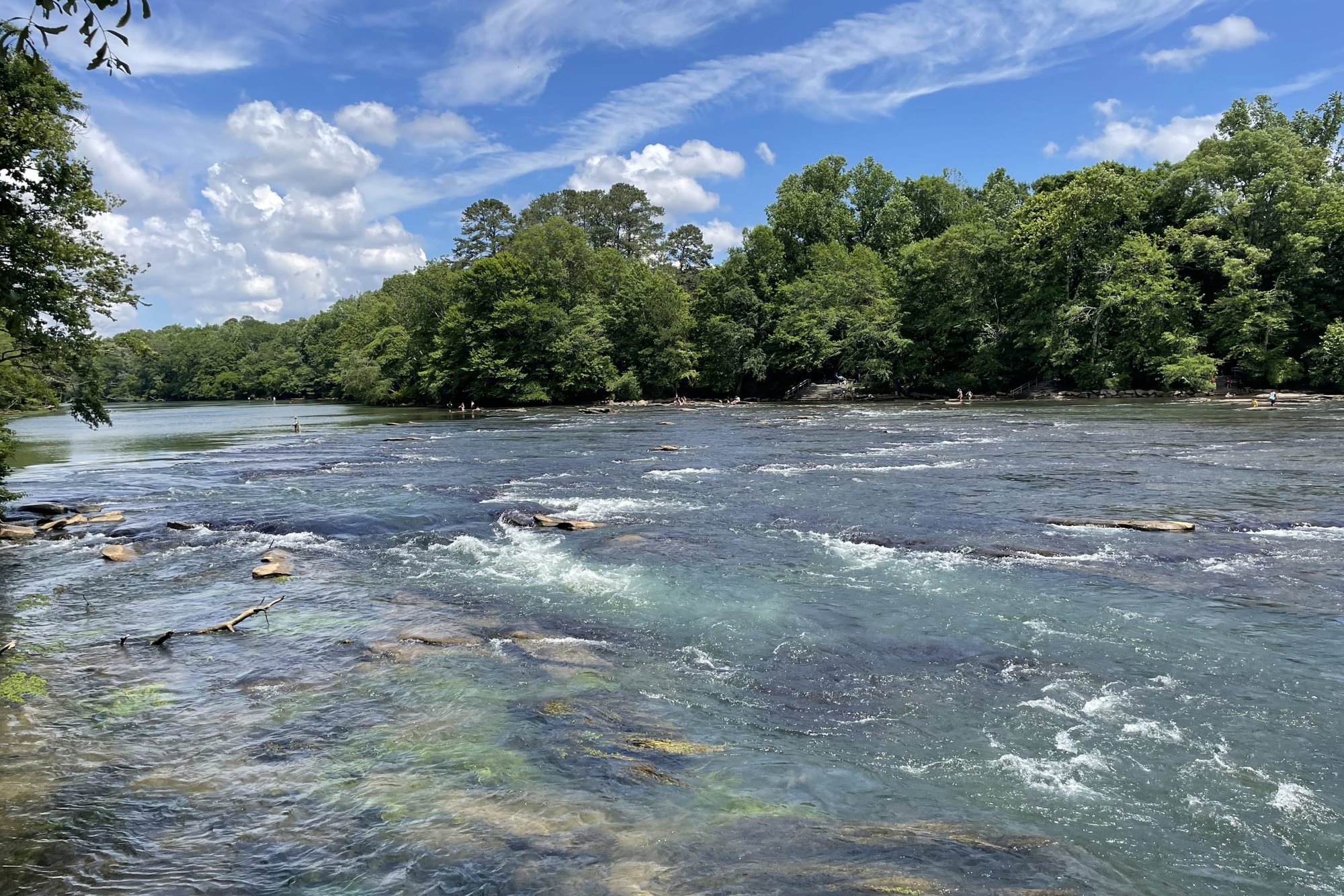
The Chattahoochee here is not a free-flowing river. It is a managed tailwater. Water released from Buford Dam at Lake Lanier, roughly 25 river miles upstream, takes hours to reach Roswell. When dam turbines spin up for hydropower generation, the surge arrives well after the release, meaning conditions can shift dramatically on a clear summer day.
Water temperature compounds the risk. The tailwater draws from deep in Lake Lanier and can run in the 50s °F even when Roswell air temperatures clear 90 degrees in July. Cold water shock is a documented cause of drowning among strong swimmers.
The Chattahoochee River National Recreation Area recorded nearly 2.94 million visitors in 2024, according to the National Park Service. Multiple access units sit in and around Roswell, including Vickery Creek, Island Ford, and Gold Branch.
What the tool shows
The Hub uses a five-flag alert system across two categories. Three flags cover flow: green means normal conditions, yellow means elevated flow where users should know their exit points, and red means the river is moving with enough force that recreational use is unsafe regardless of swimming ability. Two flags cover water quality: blue means acceptable, purple means the tool has flagged turbidity or stormwater-driven bacterial loading after rainfall.
The tool's developers say flow thresholds are based on National Park Service guidance for the recreation area, though the specific document is not cited.
It also displays seasonal normals from the USGS statistics service, so users see readings in context. Instead of a raw number like 1,900 cubic feet per second, the Hub shows whether that figure is above or below the typical range for mid-July.
"If you have ever stood at the Roswell boat ramp at 7:00 a.m. wondering whether the Chattahoochee is going to be a glassy, wade-able ribbon or a fast, cold, rising push of Buford Dam water, this app was built for you," Pulse Media Group wrote in its launch announcement.
The Hub also lists local outfitters and trail-access status for the Roswell Riverwalk, Vickery Creek, and Big Creek corridors.
Safety reminders
The Roswell Fire Department, led by Fire Chief Pabel Troche, operates seven stations and handles swift-water and technical rescues along the river corridor. The department responded to 9,074 calls in 2025, according to city records.
The National Park Service requires life jackets within the Chattahoochee River National Recreation Area.
For emergencies, call 911. For non-emergency questions, reach the Roswell Fire Department at (770) 641-3730.
River conditions: roswellga.online/roswell-river-hub (free, no login)