Roswell residents along the Chattahoochee River corridor and in low-lying neighborhoods should prepare for repeated rounds of heavy rain and possible flash flooding starting Monday, July 20, as a tropical depression crawls toward the Southeast from the Gulf of Mexico.
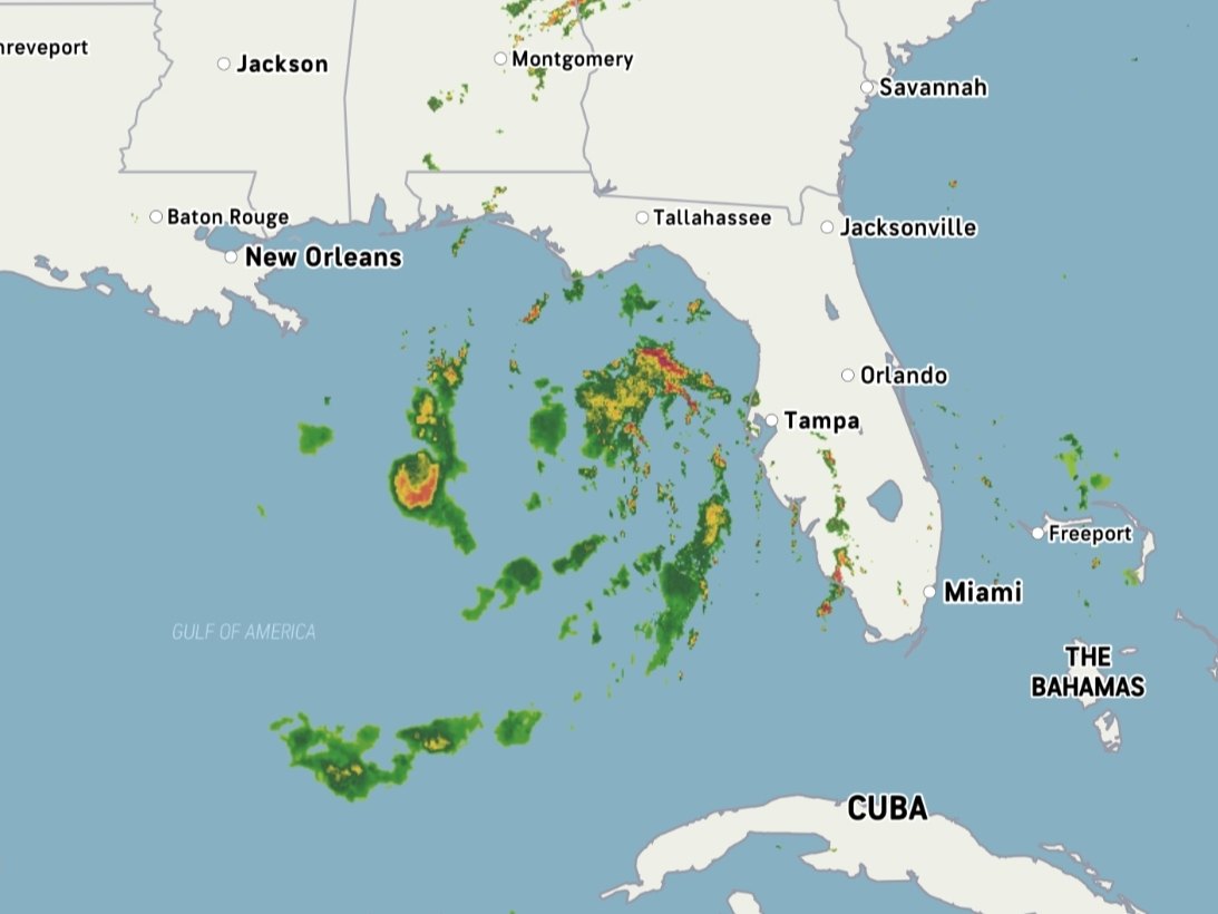
The National Hurricane Center confirmed Sunday, July 19, that a broad area of low pressure organized into Tropical Depression Two about 155 miles south of Panama City, Florida. The system carried maximum sustained winds of 30 mph and was moving north-northwest at just 2 mph as of 10 a.m. Sunday. Forecasters gave it an 80% chance of strengthening into Tropical Storm Bertha, the season's second named storm, by Sunday night or Monday.
The slow pace is the problem for Georgia. The National Hurricane Center said the system's crawl will allow tropical moisture to linger across the Southeast, increasing the risk of prolonged rainfall. The greatest concern for the state is localized flash flooding in low-lying and poor-drainage areas early in the week, the agency said. The National Weather Service added that associated thunderstorms may produce gusty winds and frequent lightning.
AccuWeather meteorologist Alex Duffus said Sunday that flash flooding "looks to be the biggest threat from the tropical rainstorm," regardless of whether the system strengthens further.
No NWS Atlanta-specific rainfall totals for North Fulton County had been issued as of Sunday evening. The National Hurricane Center's broader forecast called for 2 to 4 inches of rain, with locally up to 8 inches, from western Florida through southern Alabama and Mississippi through Thursday, July 24. That zone does not extend to North Georgia, but the agency's separate guidance confirmed Georgia would see increased tropical moisture and repeated showers capable of producing heavy rainfall. Residents should monitor NWS Atlanta (weather.gov/ffc) for localized watches and warnings.
Why Roswell is vulnerable
Ten percent of the city sits in or near a 100-year floodplain, according to the City of Roswell's floodplain management page. The Chattahoochee corridor is the primary flood hazard area, and water levels can rise fast. The NOAA stream gauge above Roswell (gauge ID: rwlg1) marks major flooding at 17 feet, the level at which Eves Road and the Fulton County Water Pollution Control Facility begin to flood.
Roswell has seen this before. On Wednesday, March 6, 2024, the Chattahoochee surged more than 2 feet in less than 12 hours overnight, surpassing the 9-foot flood stage by morning. At least four vehicles stalled on Azalea Drive after drivers bypassed flood barricades.
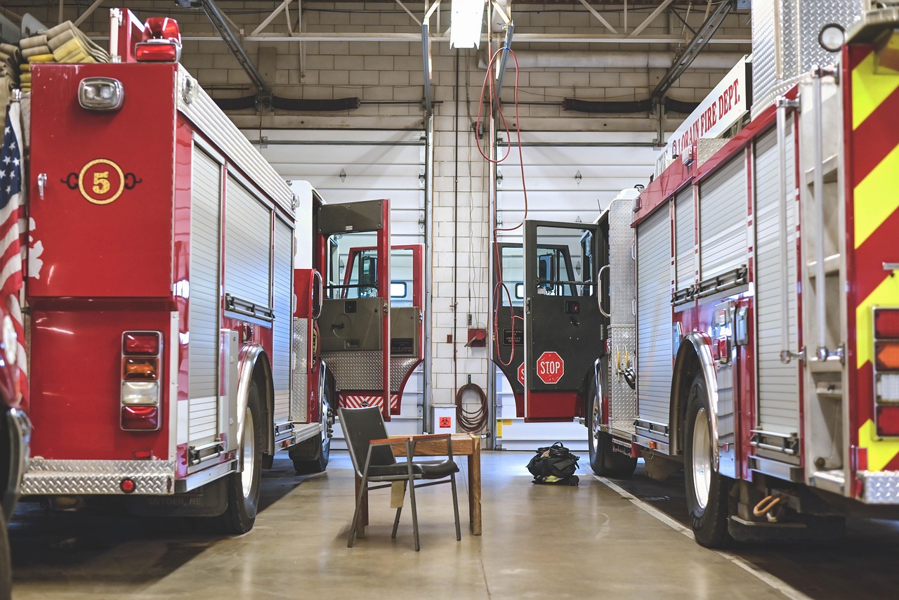
"Don't ever assume your vehicle can pass through a flooded roadway," Roswell Fire Department fire and life safety educator Chad Miller told FOX 5 Atlanta during that March 2024 event. The department notes it takes only 6 inches of water to knock a person off their feet and just 1 foot to sweep away a sedan.
How to stay informed
The City of Roswell operates ALERTRoswell through the Fulton Alert and Community Notification System (FALCON), powered by Everbridge. Residents can download the Everbridge app and searching for "Roswell." Alerts cover severe weather, flooding, road closures, and evacuations by text, email, or voice call.
The city advises residents near waterways to move to higher ground before rising waters block evacuation routes. To report blocked drainage ditches or culverts, call the Roswell Environmental/Public Works Department at (770) 641-3715. Questions about emergency preparedness can go to Roswell's Emergency Management Division at (770) 594-6133.
Forecasters said Saharan dust and increasing wind shear starting Tuesday, July 21, would likely prevent the system from becoming a hurricane. The flood risk does not depend on the storm's final strength. NWS flash flood watches and warnings for the Roswell area could be issued through midweek as the forecast evolves.