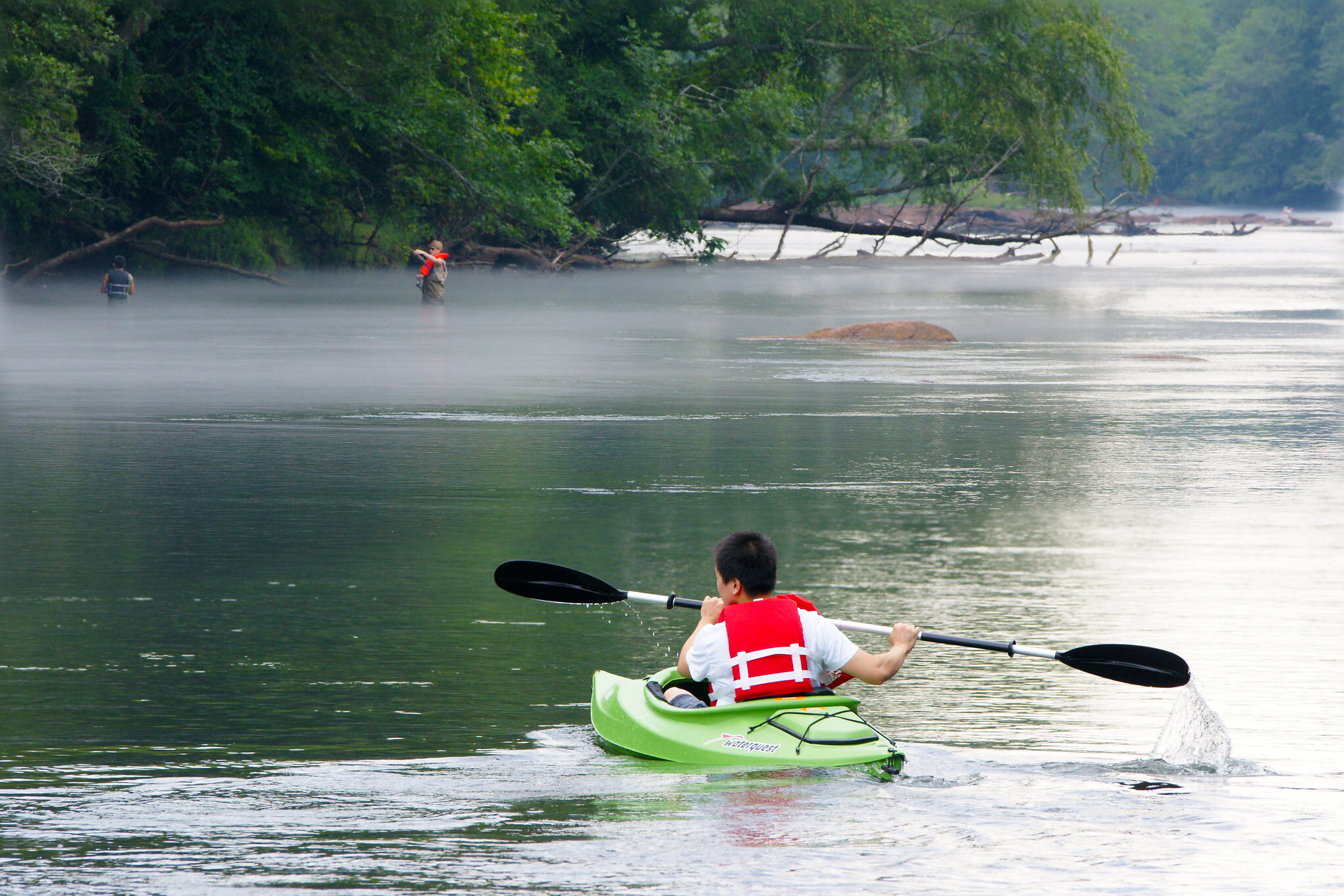
Nick Adams has spent 40 years kayaking and fishing the Chattahoochee tailwater. He got tired of checking half a dozen government websites before every trip to the water.
He built one page.
The Roswell River Hub, which went live in July at roswellga.online/roswell-river-hub, is a free, browser-based dashboard that pulls together live USGS water gauges, Buford Dam release schedules, water quality alerts, and park access information for the Roswell stretch of the Chattahoochee. As we reported July 19, the tool launched as the first consolidated resource of its kind for local river users.
Now the full story behind it is public.
The builder
Adams is a board member of Georgia Kayak Fishing, the state's largest kayak fishing club, where he has organized more than 88 events on Georgia waterways, according to a profile published July 28 by Roswell Pulse. He runs Pulse Media Group, a Roswell-based digital marketing and civic-tools company responsible for the Roswell Downtown Parking Wizard and the Roswell Traffic Wizard.
His motivation, as the Roswell Pulse profile describes it: the data already exists in public, for free, scattered across half a dozen federal and state systems that were never designed to talk to each other or to someone standing on a boat ramp.
The Roswell River Hub wasn't his original project. Adams first built the Chattahoochee Tailwater Hub, covering all 48 miles of tailwater from Buford Dam to Paces Ferry with nine USGS stations, BacteriAlert E. coli integration, a custom points-of-interest map, and a seven-day fishing forecast. That forecast computes a five-star rating from eight factors including moon phase, barometric pressure, and water temperature.
Nearly a year of nights and weekends went into that application before the Roswell-specific version existed.
How it works
The Roswell River Hub uses a beach-style color-coded flag system. Green, yellow, and red flags are computed from National Park Service flow thresholds. Blue and purple flags signal water quality concerns driven by turbidity readings and stormwater rise in feeder creeks like Willeo Creek at GA 120.
The dashboard covers five Roswell access points: Island Ford Park, Don White Memorial Park, Azalea River Access and Azalea Park, the Vickery Creek unit off Riverside Road, and the Chattahoochee Nature Center at 9135 Willeo Road.
It also displays Buford Dam release schedules with travel-time estimates showing when a release will reach the Roswell stretch. That matters because the Chattahoochee is a cold, dam-controlled river where water temperatures can stay in the 50s Fahrenheit even in June.
Why it matters locally
The Chattahoochee River National Recreation Area drew 3,183,081 visitors in 2023, according to National Park Service data. Those visitors spent $161.2 million in surrounding communities, supported 2,149 local jobs, and generated a cumulative economic benefit of $236.8 million.
Much of that traffic flows through Roswell. The Nantahala Outdoor Center operates as the city's exclusive on-site outfitter at Azalea Park and Don White Memorial Park, running the classic 1.5-mile float from Don White to Azalea as a three-to-four hour trip with shuttle service.
How to use it this summer
Adams recommends checking the flag and dam release schedule the night before a river trip, then re-checking flow and water temperature the morning of. On the drive, the embedded map layer confirms put-in and take-out conditions. After rain, watch the turbidity and water quality flags before getting in.
The Roswell River Hub is free on the Roswell Business Directory site. The broader Chattahoochee Tailwater Hub, with fishing-specific forecasts, is available at its own site for anglers working multiple reaches.